


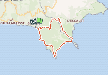
Cap Lardier Cap Taillat-24-01-224

Christiancordin
User


4h55
Difficulty : Medium

FREE GPS app for hiking
 SityTrail
IGN / Geographical institutes
SityTrail Plus
The world is yours!
About
Trail Walking of 14.4 km to be discovered at Provence-Alpes-Côte d'Azur, Var, La Croix-Valmer. This trail is proposed by Christiancordin.
Description
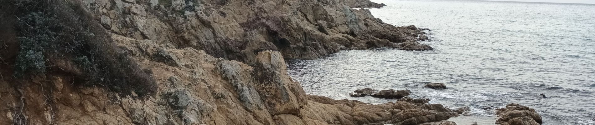
Plage de Gigaro, pointe du Brouis, plage du Brouis, sémaphore ruiné, cap Lardier, baie de Briande, cap Taillat, pointe de la douane, maison de la douane, dolmen de la Briande, piste de la Tourraque, Collebasse. (vers Collebasse sentier en descente fortement prononcée, faire attention).
Photos


Positioning
Comments